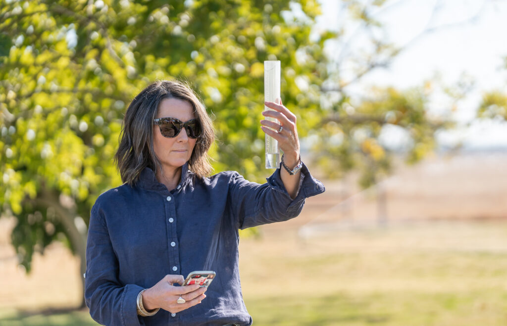
In today’s fast-paced farming environment – whether you’re running livestock, cropping, or a mix of both – you need decisions made in the moment, not later at the office. Outdated farm map printouts and old aerial photos just can’t keep up.
That’s where Phoenix Live Mapping makes a difference. It brings your farm map with you – on your phone – so the right information is always at hand when you need it. From planning paddock rotations and crop inputs to checking water points and tracking infrastructure, Phoenix Live Mapping helps you manage smarter, wherever you are.
Here are seven reasons to use Phoenix Live Mapping on your farm.
1. Take Your Farm Map Wherever You Go with Phoenix Live Mapping
Phoenix Live Mapping puts a live, interactive map of your property in your pocket – so whether you’re shifting stock, spraying a crop, or checking a water trough, the latest information is right there with you. No more guesswork. No more wondering which version is up to date. Everyone one on the team can see the same map, in real time
2. See the Big Picture of Your Operation – In Real Time
Phoenix Live Mapping gives you a detailed, customisable view of your entire farm – from paddocks and water points to sheds, laneways, and infrastructure.
With the Phoenix Live App, this view is mobile, up-to-date, and ready for action whenever and wherever you are. Easily edit features, add new paddocks or zones, and adjust as your farm evolves – all from your device. Real-time auto syncing across all devices mean that whether you’re at home or in the field, you’re always looking at the most up-to-date version of your farm map.
And because Phoenix integrates with other modern GIS mapping tools (via SHP files), you can work seamlessly with consultants, contractors, or agronomists too.
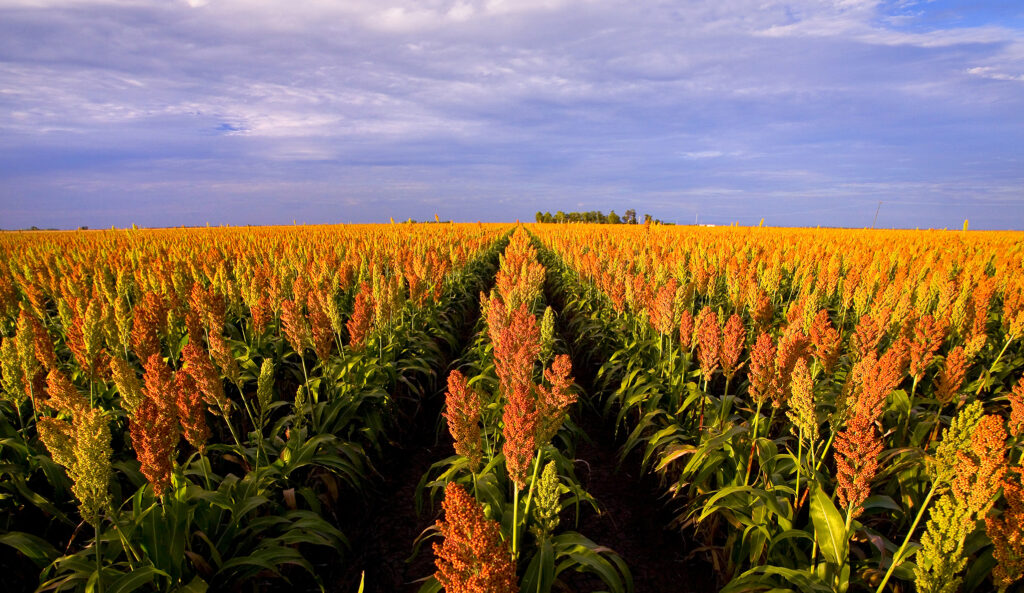
3. Record Livestock and Cropping Activities Directly to the Map
Whether you’re grazing or cropping (or both), Phoenix Live Mapping makes it simple to keep track of production activities.
Record mob movements, sowing, spraying, and other key jobs directly to the paddock or zone on your map (Phoenix Livestock and Cropping modules required). You’ll have a precise, paddock-by-paddock record of what’s happening where – supporting better planning, clearer reporting, and more informed decisions.
It’s not just about where things are – it’s about what’s happening there.
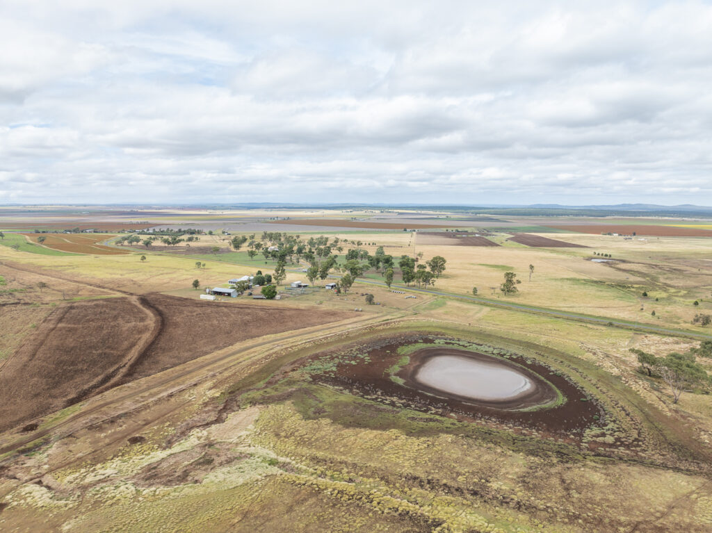
4. Plan Infrastructure Improvements with Confidence
Real users like Nick & Deanna Austin from Mundarlo, NSW, have used Phoenix Mapping to plan new water systems and paddock subdivisions as part of their regenerative grazing system.
By clearly visualising pipeline routes, water points, and fence lines on a live map, they’ve been able to make smarter decisions to support their livestock and land health.
Phoenix Mapping helps you design infrastructure upgrades that are practical, cost-effective, and tailored to your property.
5. Keep Your Records Audit-Ready for Compliance
Spray records, grazing movements, fertiliser applications – these are the details that matter for accreditation, environmental programs, and market assurance schemes.
Phoenix Mapping helps you record this data accurately to each mapped paddock or zone, and connects it to your livestock and cropping records, so everything you need for inspections or audits is ready to go.
Better records. Less hassle.
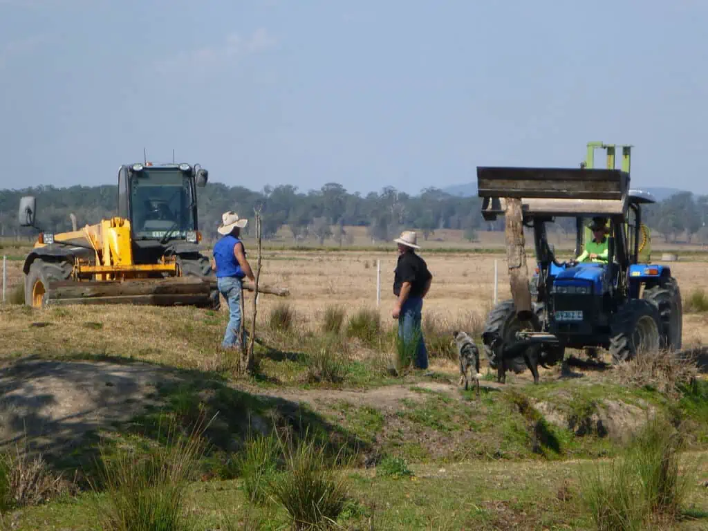
6. Improve Team Coordination and Safety in the Field
Phoenix Live Mapping does more than track paddocks – it can also help coordinate people and tasks.
Assign geo-tagged tasks to staff or contractors in the field, track their progress, and even monitor staff locations for better safety and smoother coordination. It’s team management made practical – right from your phone. Whether you’re spreading, spraying, or fencing, everyone stays informed and working efficiently.
This real-time oversight keeps the whole operation flowing smoothly – even across large or remote properties.
7. Integrate with Other Phoenix Production Farm Management Modules
Phoenix Mapping works seamlessly with Phoenix Livestock, Cropping, and Weather, giving you a truly connected farm management system.
When your mapping, production, and weather records talk to each other, managing your farming operation becomes simpler, and easier, leading to smarter decisions and becoming more profitable.
Phoenix Live Mapping is designed for Australian farmers like you – whether you run livestock, cropping, or a mixed enterprise. Download your free trial here and get started today!